
2025 Collins Handy Road Atlas Britain and Ireland : A5 Spiral
£5.99
Author: Collins Maps Published 28/03/2024 | Spiral bound
210 x 160 x 4 | 134g
Explore Britain with easy-to-read mapping from Collins.
This easy-to-use, handy A5 road atlas with spiral binding features extremely clear route planning maps of Britain and Ireland, and fits neatly into your glove box or bag.
The maps of Britain are at 10 miles to 1 inch (1:625,000) and the whole of Ireland is covered at 15.8 miles to 1 inch (1:1,000,000). There are also a selection of more detailed urban area maps at 4.5 miles to 1 inch (1:285,000) to aid route planning in these busy areas.
Main features:
Road maps that focus on the main roads, motorways and settlementsMore detailed maps of London, Manchester, Merseyside and West MidlandsUpdated Park & Ride locations, new rail stations and extensions to tram lines in Blackpool and EdinburghHandy distance calculator chart highlighting distances between the major townsOver 30 categories of places of interest including castles, theme parks, sports venues and surfing beachesClean Air and Low Emission Zones explained and indicated on mapping
In stock
You might also like
-

Lake District A-Z Visitors Map
£6.99 Add to basket -

Manchester and Salford : 277
£12.99 Add to basket -

Why the Dutch are Different : A Journey into the Hidden Heart of the Netherlands: From Amsterdam to Zwarte Piet, the acclaimed guide to travel in Holland
£10.99 Add to basket -
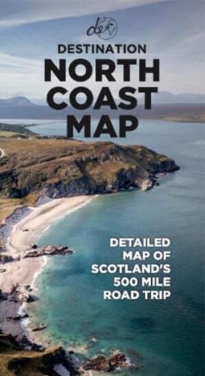
North Coast Road Trip Map : Detailed A1 Map to Scotland’s 500-mile Roadtrip
£8.99 Add to basket